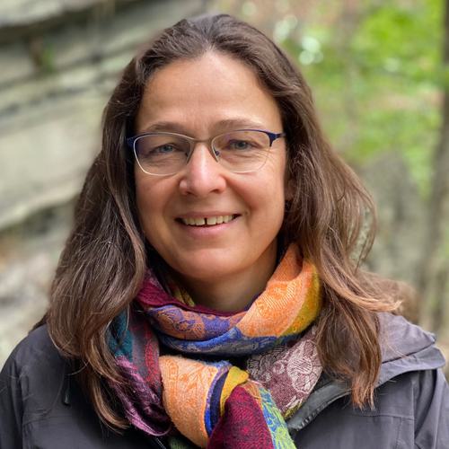
Katrin Monecke
Associate Professor of Geosciences
Links
Research interests: Earth surface processes, sedimentology, and natural hazard assessment
My research aims at assessing natural hazards in at-risk regions to better prepare local communities for future disasters. I am interested in the sedimentation of tsunami deposits along Indian Ocean shorelines and elsewhere, and coastal changes in response to large earthquakes and tsunamis. I am also analyzing the sedimentary record of lakes for disturbances related to past strong earthquakes.
At Wellesley, I am teaching classes related to Earth surface processes and sedimentology, including Earth Systems through Time, a core class of our curriculum. The lab component of this course is entirely field-based allowing students to explore the geologic history of key sites in New England, Upstate New York and along the Colorado Front Range. My upper-level classes in Sedimentology and Stratigraphy and Paleoseismology include semester-long research experiences that are directly related to my ongoing research program.
Education
- B.S., Universität Hannover
- M.S., Universität Hannover
- Ph.D., Swiss Federal Institute of Technology ETH Zürich
Current and upcoming courses
Earth Systems through Time with Field Laboratory
GEOS200
The geologic record, covering 4.6 billion years, provides us with a long-term perspective of the Earth system and how it operates over time scales much longer than human history. Using Wellesley’s extensive rock and fossil collection, geologic data sets and journal articles, we will reconstruct and interpret Earth's eventful past, including periods of mountain building, dramatic climate changes, and the evolution and extinction of life on our planet. This class should give students an understanding about deep time and that we live on an ever changing planet. The lab component of this class will be entirely in the field where we will visit key geologic outcrops that represent a large part of Earth history. During three weekends throughout the semester (one half day, one full day and one 1.5-day trip) we will explore the regional geology in New England and Upstate New York. The majority of the field work will take place during a 6-day field trip to the southwestern United States in mid-May between the last day of finals and commencement. This class fulfills the geosciences major requirement.